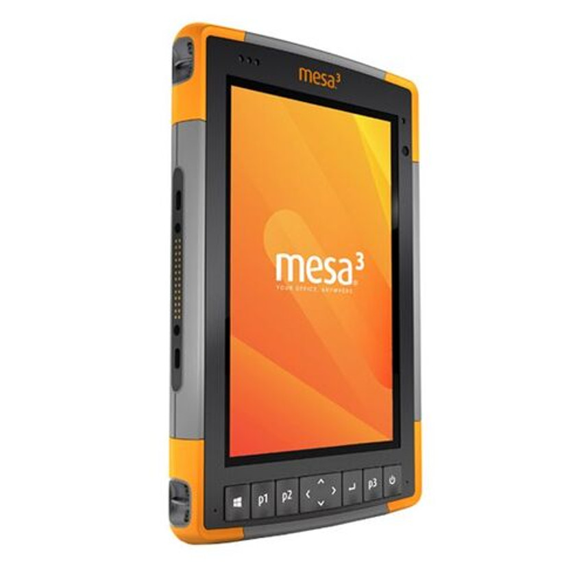
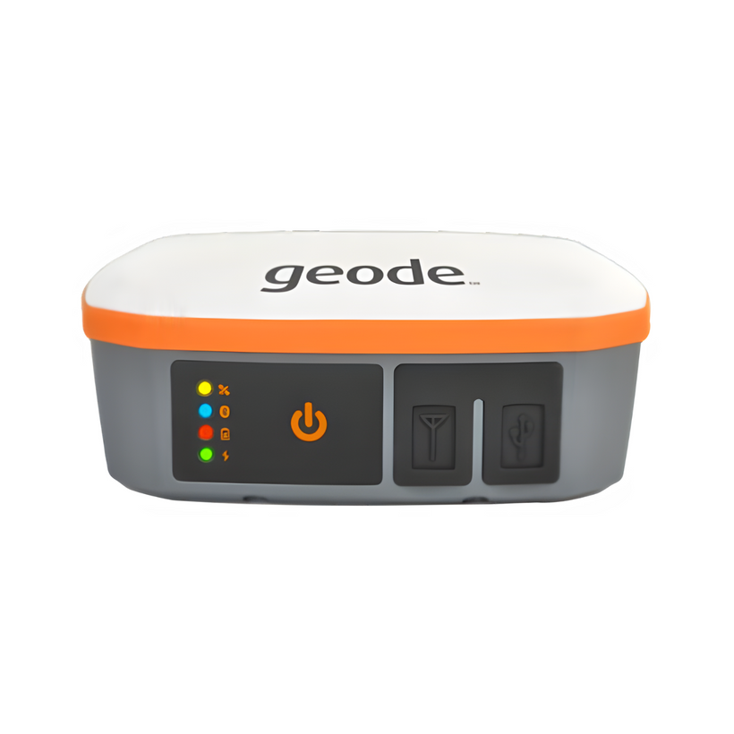
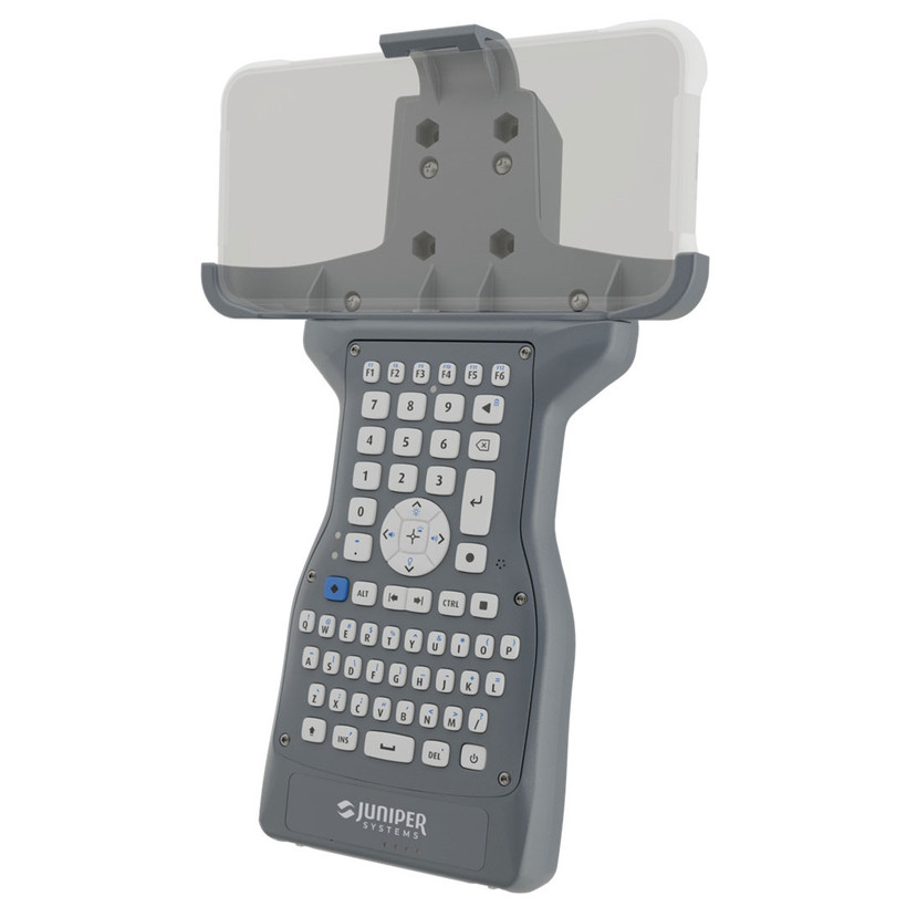
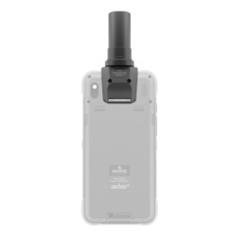
Looking for a simple and scalable sub-meter, sub-foot, and decimeter GNSS solution at an affordable price? With the Geode, you can easily collect real-time GNSS data without the huge price tag or complexity of other precision receivers.
Designed with versatility in mind, the Geode works well with with most Apple®, Windows®, and Android™ devices. An integrated antenna makes messy cables a thing of the past, yet still has an external antenna port if it’s needed. Take the Geode with you mounted on a pole, in a pack, or held in your hand to collect real-time precision GNSS data wherever the job takes you.
Features:
- Scalable Accuracy: Collect precision multi-frequency, multi-constellation GNSS data at various accuracy levels
- Worldwide Corrections: Multiple correction sources provide precise, real-time data
- Compact Size: Small and lightweight for all-day use
- Open Interface: Works with Juniper Systems’ handhelds or your own device
- Ease of use: Intuitive and easy operation, one-button simplicity
- All day battery life: Ideal for long work days
Technical Specifications:
Power
- Input Voltage: 5VDC @ 2A USB
- Power Consumption: 1.7–2 W nominal
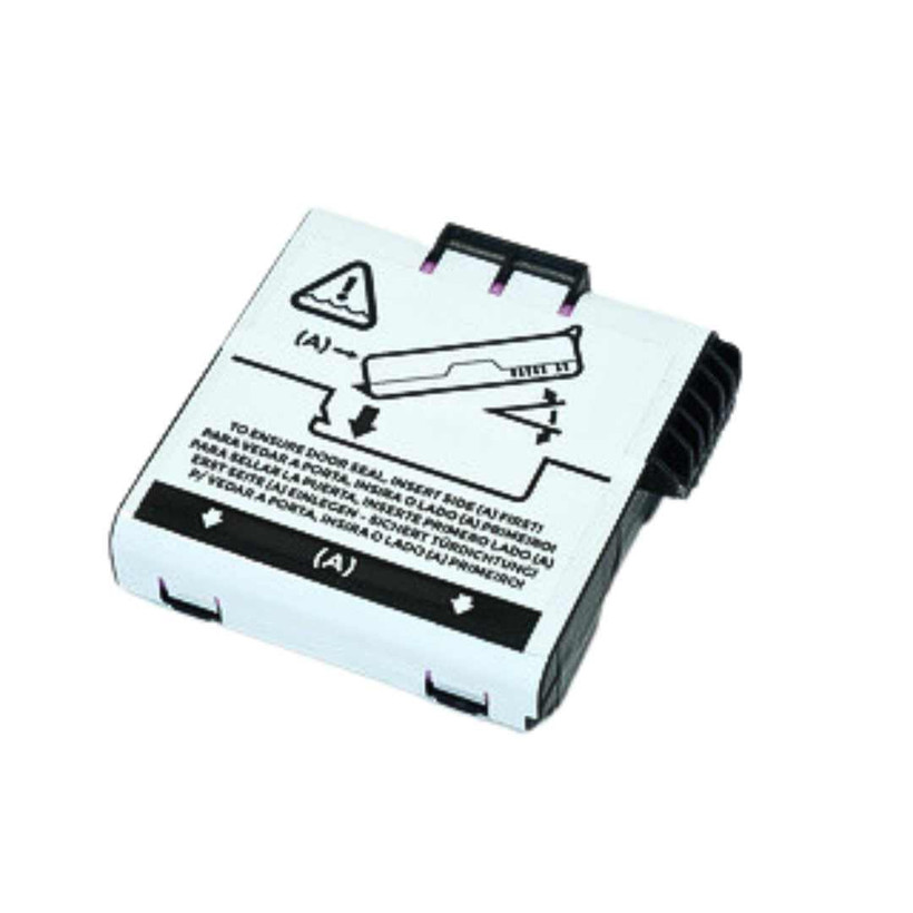
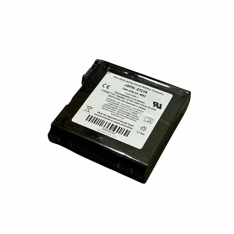
- Overtime Technology™ Battery: 3.6V 6000
mAh Li-ion (10 hours) - Charging Time: Less than 4 hours
Antenna
- Internal precision single/multi-frequency
with integrated ground plane - External Antenna Port: MCX type, 50 ohm
15VDC @ 45 mA maximum (GNS3M)
Juniper Rugged™
- Operating Temp: -20 C to +60 C
- Storage Temp: -30 C to +60 C
- Meets or Exceeds MIL-STD 810G (Drop,Vibration, Temperature, Ingress Protection)
- Enclosure Rating: IP68 (1.4 meters for 30 min)
Included Accessories
- Cable: USB-A to USB Type-C
- Cable: USB Type C to USB Type-C
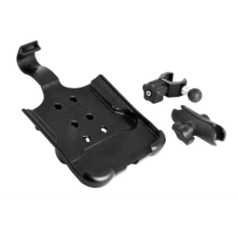
- 5/8 x 11 Pole Mount Adapter
- USB charger
Configurations
- Geode GNS3S Single Frequency Antenna, 9-pin serial port, No Atlas support
Dimensions
- 110 x 110 x 57mm (4.36x4.36x2.25in)
- Weight: 394g (14 oz)
- Mount: ¼ x 20 camera stud and #6-32 AMPS
Geode GNS3 Compatibility
- Windows® PC
- Android™ 7 and above
- iPhone and iPad (See our website for full list of compatible Apple devices)
- GeodeConnect™ software providesconfiguration, communications setup, and receiver settings
Accuracy
- SBAS: <30 cm HRMS1, <60 cm 2DRMS
- Atlas (95%): H10: 10 cm, H30: 30 cm, Basic: 50cm (requires subscription)
- Autonomous: 1.2 meters HRMS2
- Cold Start: <60 sec typical (no almanac)
- Reacquisition: 15 sec Atlas, all others <1 sec
Receiver
- Receiver Type: GNSS multi-frequency, multi-constellation
- Signals: GPS: L1CA, L1P, L1C, L2P, L12P, L2C, L5, GLONASS: G1, G2, P1, P2, BeiDou: B1, B2, B3, GALILEO: E1BC, E5a, E5b and QZSS: L1CA, L1C, L2C
- Channels: 800+
- SBAS Support: 3-channel parallel tracking
- L Band: Atlas worldwide 1525-1560 Mhz (with Subscription)
- Update Rate: 1 Hz standard
Communications
- Bluetooth® 4.1 SPP, iAP2, EAP
- Bluetooth Range: Class 1 Long Range
- Ports: USB Type-C; Serial RS232C DB-9
- Serial Baud Rates: 4800–115200
Receiver Protocols
- Data I/O Protocol: NMEA 0183, Crescent Raw Binary (proprietary)
- Correction I/O Protocol: Hemisphere GNSS Proprietary, ROX, RTCM v2.3, RTCM v3.2, CMR, CMR+
- Other: 1PPS Timing Output, Speed Pulse, Event Marker Input (optional)